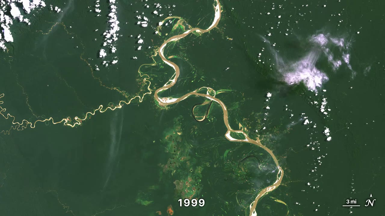
The meandering Ucayali
01 · Strata & Time · 00:04 · 2026
Rivers, glaciers and a coastline, photographed from the same orbit every year since the 1980s.
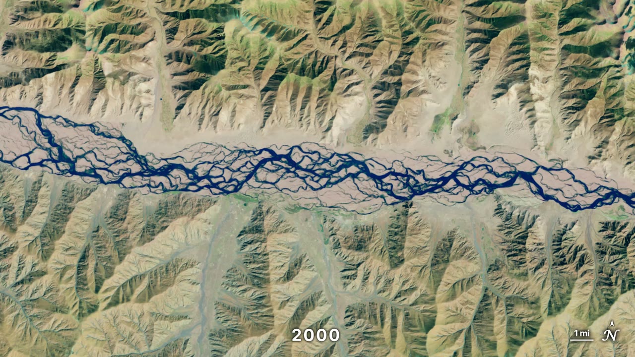
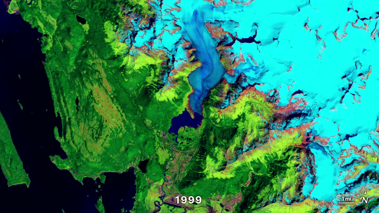
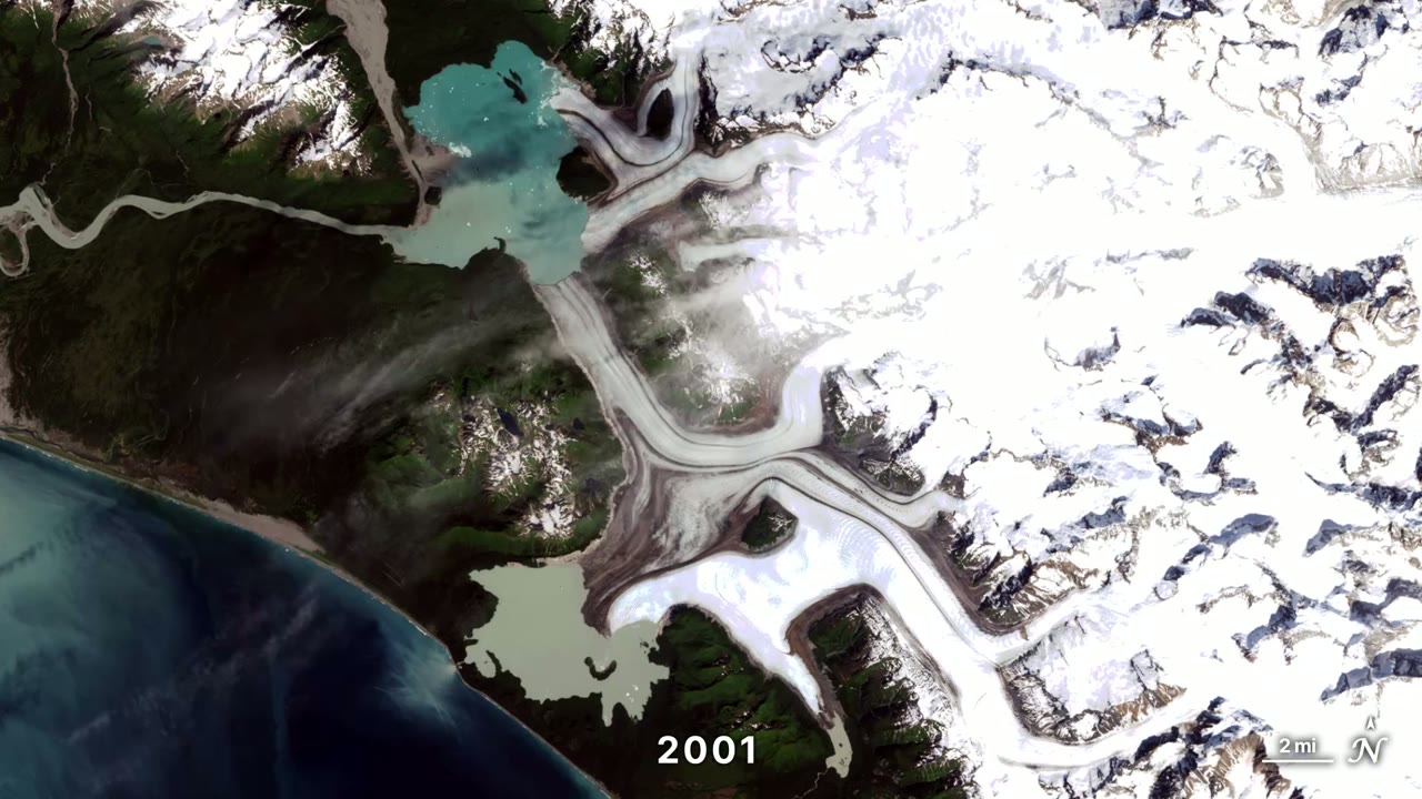
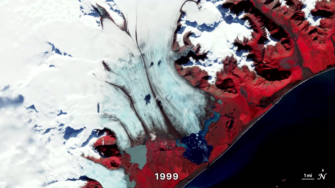
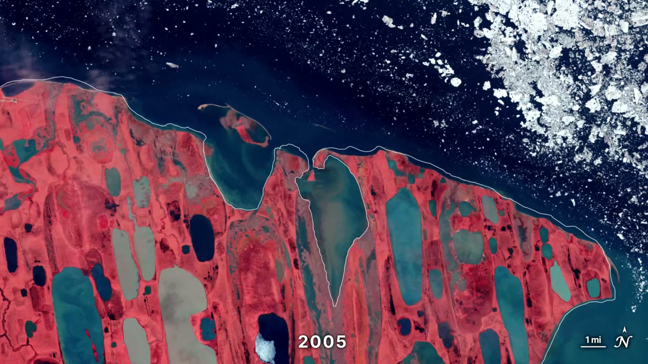
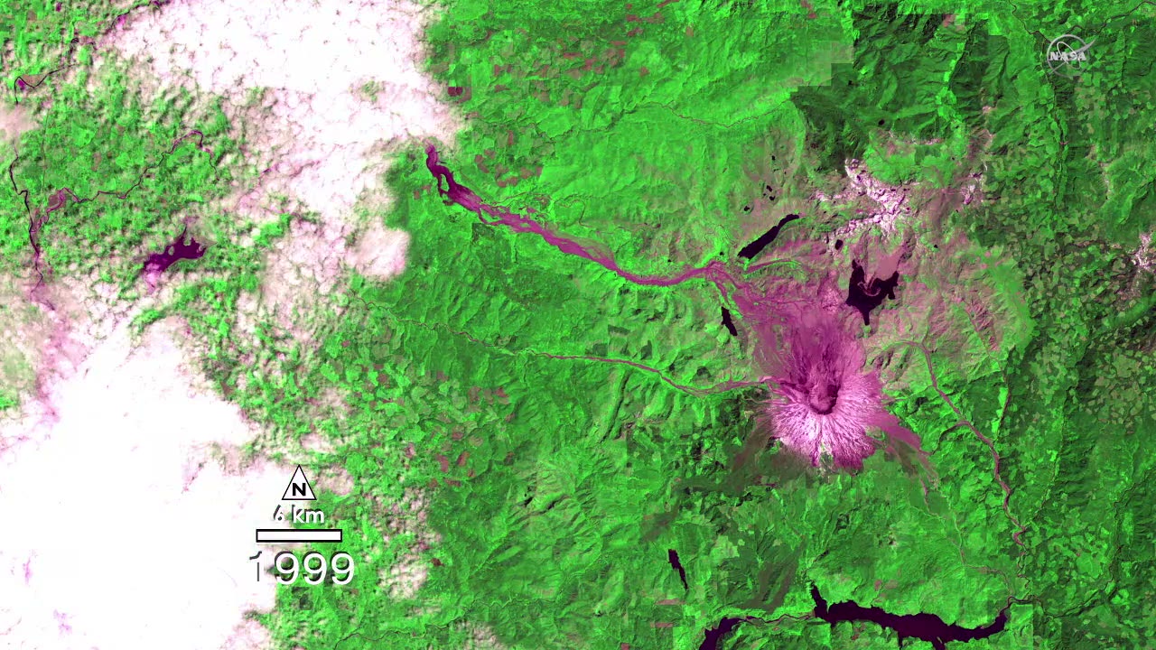
Landsat satellites have photographed the same ground, from the same orbit, for decades. Put one frame per year end to end and a landscape that looks fixed starts to move. These seven films are built that way. Most run for only a few seconds, so play each one on a loop and pause on the first and last frames; the difference between them is the whole story.
Watch them in this order. The two rivers come first, because moving water changes the land fastest: a meandering river cuts off its own loops, a braided river swaps channels every summer. Then three glaciers, each leaving a lake where the ice used to be. Then a permafrost coast stepping back from the sea. Mount St. Helens comes last and runs longer: the same kind of record, but here the land is recovering rather than wearing away.
Start with the first film